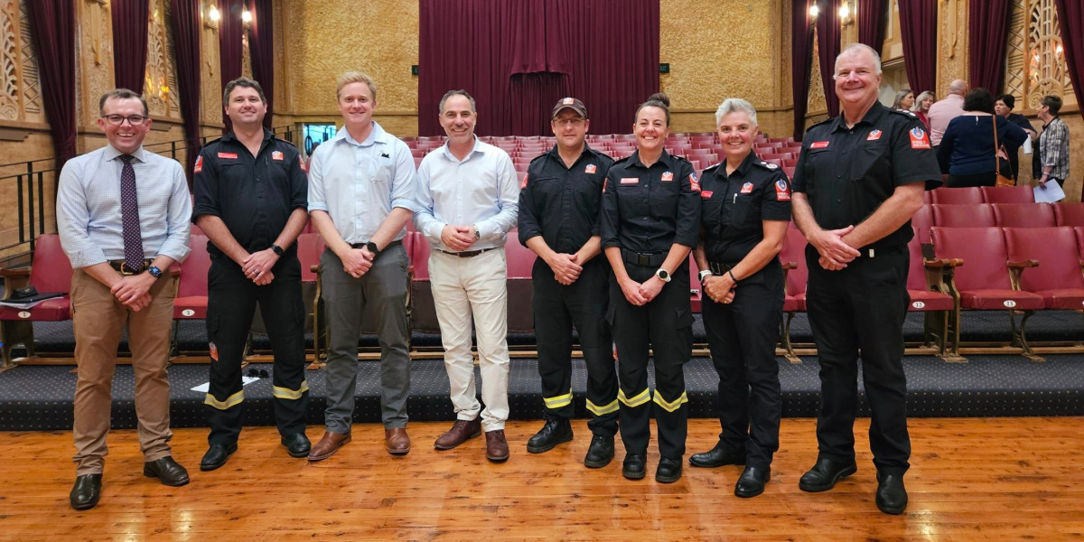
Bingara Fire and Rescue station is sounding the alarm for a new wave of on call firefighters to step up, join the brigade and keep the station running.
Emergency management
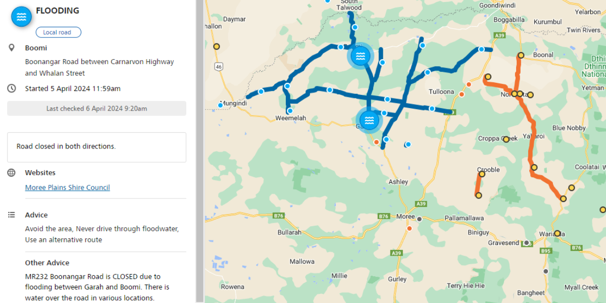
Support announced for flood affected areas as multiple roads remain closed, more flooding expected tomorrow
Disaster assistance has now been extended to the Gwydir local government area, as minor flood warnings are reissued for the Barwon river.
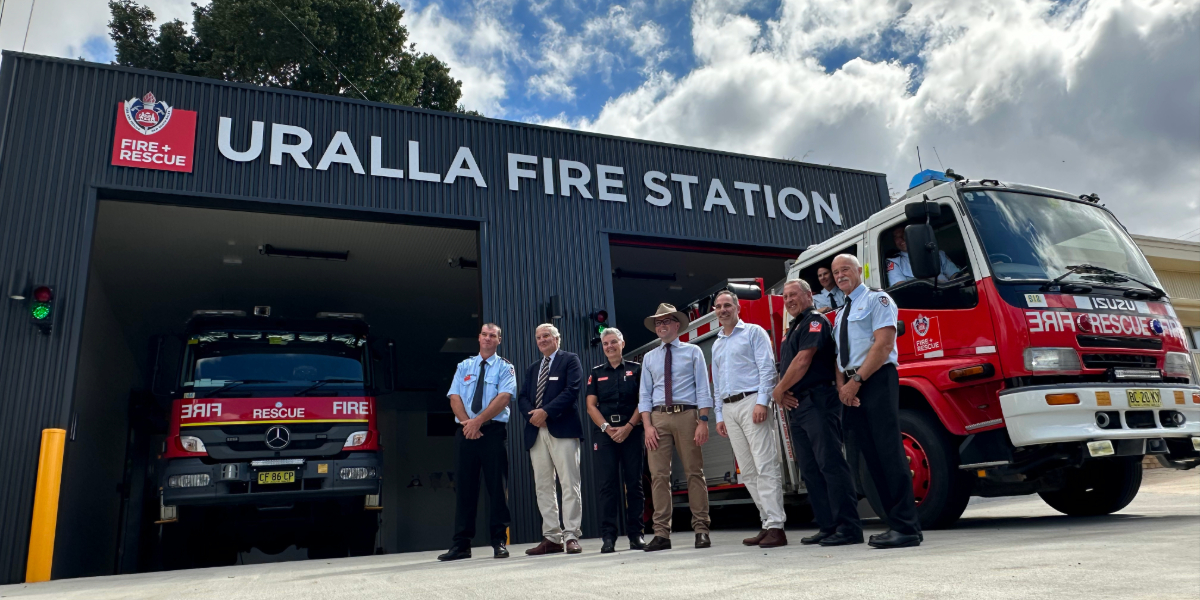
Uralla Fire Station upgrades officially opened
Major upgrades to Uralla’s Fire and Rescue Station have been unveiled including a new double bay storage shed and separated changerooms for male and female firefighters.
Ampol continues support for Westpac rescue chopper
Ampol Australia has extended its support of the Westpac Rescue Helicopter Service for a further five years as part of its Ampol Foundation program.
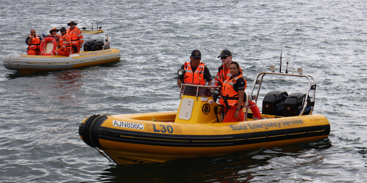
Who Let the Boats Out: NSW SES Launch Training Exercise in Armidale
More than 750 emergency service personnel have taken to waterways across the state today for the NSW State Emergency Service’s (SES) annual flood boat training exercise. Today our Armidale team got a chance to hone their skills.
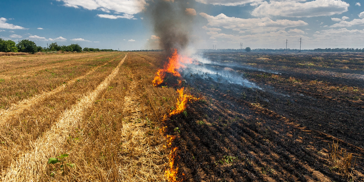
New program to help farmers fight fires
Farmers have welcomed the launch of a new trial scheme to help first responders fight bushfires.
Disaster assistance now available for those affected by Pilliga fire
Disaster assistance is now available in the Narrabri Local Government Area (LGA) following impacts of fires in the Pilliga State Forest that started on 8 December 2023.
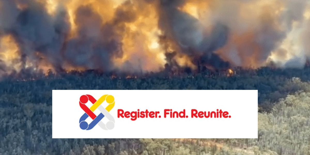
Register.Find.Reunite. launched to reunite families and friends impacted by Narrabri bushfire
Australian Red Cross has opened Register.Find.Reunite. and is urging people affected by the Narrabri Bushfire to get in touch with their families and friends.
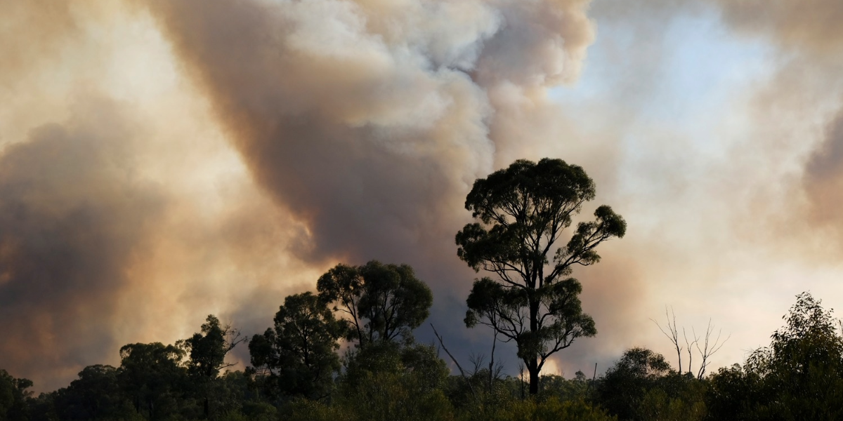
Too late to leave: Out of Control Bushfire in Duck Creek Pilliga Forest
Residents have been told it’s too late to leave, seek shelter now, as a large out of control bushfire continues to burn in the Pilliga Forrest.
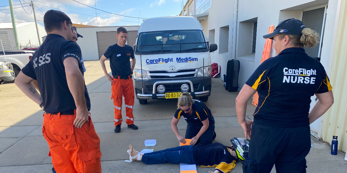
CareFlight brings free emergency trauma care training to NSW’s New England region
This weekend, CareFlight is hosting a unique trauma care community education workshop in Warialda.


