
An increasing number of localities on the Macintyre, Gwydir and Namoi rivers are under flood advice, with the warning for Wee Waa updated this morning to ‘prepare to isolate’.
Moderate to heavy rainfall over the last week, combined with a fair amount of water coming down the river systems following the deluge in Queensland, is likely to cause minor to moderate flooding on the plains. An earlier flood alert for the Peel River at Tamworth has now been lifted.
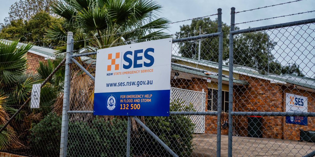
WEE WAA
The NSW SES advises people in the following area(s) to PREPARE TO ISOLATE due to predictions that the Namoi River is likely to reach the moderate flood level (6.40m) early Monday morning.:
- Wee Waa and surrounds
You should monitor the situation and prepare to be isolated by floodwater. Consider the effects isolation will have on family, work, and educational commitments.
You may be trapped without power, water, and other essential services and it may be too dangerous for NSW SES to rescue you.
The Bureau of Meteorology advises The Namoi River at Wee Waa (Glencoe) is currently at 6.36 metres and steady, above the minor flood level (5.30 m). The Namoi River at Wee Waa (Glencoe) is likely to reach the moderate flood level (6.40 m) early Monday morning. Further river level rises are possible as floodwaters arrive from upstream.
Based on predictions from the Bureau of Meteorology, the following areas may be impacted by flooding:
- Trindall Lane
- Wee Waa to Culgoora Road
- Kamilaroi Highway at Glencoe Channel
- Vera’s Leap Road and Culgoora Road at Wee Waa lagoon
- Cotton Lane
- Tulladunna Lane
NARRABRI
The NSW SES advises people in the following area(s) NOT TO ENTER FLOODWATER due to current minor flooding:
- Narrabri and surrounding areas
The Narrabri Creek at Narrabri peaked at 4.39 metres around 02:00 am Sunday 30 morning and is currently at 4.05 metres and falling, below the minor flood level (4.90 m). Renewed river level rises are expected at Narrabri, as floodwaters travel downstream. The river level may reach the minor flood level (4.90 m) Monday morning.
More details and advice from NSW SES here
GUNNEDAH
The NSW SES advises people in the following area(s) NOT TO ENTER FLOODWATER due to predicted minor flooding:
- Gunnedah
- Carroll Village
- Low lying areas along the Namoi River
You should monitor the situation as it is constantly changing. Avoid floodwater for your safety.
The Namoi River at Gunnedah is currently at 5.45 metres and rising, and may reach the minor flood level (7.30 m) Monday morning. Further rises are possible.
Based on predictions from the Bureau of Meteorology, the following areas may be impacted by dangerous floodwaters:
- Properties on the northeast side of Ruvigne Road and the south side of Bluevale Road
- Parts of Henry Street
- Campervan and Motorhome Club Australia (CMCA) RV Park
- Low-lying areas of the river flats on the northern side of the Namoi River
- Houses in Talibah Flat
- Gunnedah to Kelvin Road approximately 500 meters north of Cohens Bridge at the ‘Pig Hole’
- Parts of Rosemary Street
- Parts of Chandos Streets
- Parts of Warrumbungle Street
- Maitland Street
- Bloomfield Street
- Carroll Village
More details and advice from NSW SES here
The following areas are also under a flood advice with affected residents asked to ‘stay informed’.
- Boggabilla, Toomelah and surrounding areas on the Macintyre River
- Boggabri and surrounds – The Namoi River at Boggabri may remain around the minor flood level (7.00 m) during Monday morning. Further rises are possible.
- Gravesend and surrounding areas – The Gwydir River at Gravesend Road Bridge peaked at 7.28 metres around 09:00 am Sunday, with minor flooding. The river level is currently at 6.02 metres and falling.
- Low lying areas of Pallamallawa – The Gwydir River at Pallamallawa may exceed the minor flood level (6.00 m) and may peak near 6.20 metres.
There are also a large number of local road closures due to flooding from Boggabri to the border, detail are available from Live Traffic or Council websites.
Stay up to date with the latest flooding information on the Hazards Near Me app, the NSW SES website or social media.
Don’t miss any of the important stories from around the region. Subscribe to our email list.