Moree Shire Council will continue to workshop the town’s Development Control Plan – Draft Flood Chapter, after it was tabled for adoption at last week’s council meeting.
In 2022 Council received grant funding to review the Flood Chapter in Moree Plains Development Control Plan (DCP) 2013. In 2024 Council publicly exhibited a draft of the revised Flood Chapter.
Following the commencement of the new Council term, the new Councillors will workshop the document with Council staff before considering the matter again at the April Ordinary Council Meeting.
“This is around responsible land use management on the floodplain and the safety of both residents and rescuers in the event of a natural disaster. The DCP is being updated in accordance with the NSW Flood Risk Management Manual 2023”. Said Director of Planning and Development Darryl Fitzgerald.
Since 1984 the NSW Flood prone land policy (the policy) has set the direction for flood risk management (FRM) in New South Wales.
The NSW Government’s Flood Prone Land Policy provides a framework for managing development on the floodplain. The primary objective of the policy is to reduce the impacts of flooding and flood liability on communities and individual owners and occupiers of flood prone property, and to reduce private and public losses resulting from floods. The policy aims to address existing flooding problems in developed areas and ensure that new development is compatible with flood hazards and does not create additional flooding problems elsewhere.
Detailed implementation arrangements for floodplain management are outlined in the NSW Government’s Flood Risk Management Manual (2023). The Manual provides all councils with a framework for implementing the policy to achieve the policy’s primary objective.
The Development Control Plan Objectives are:
- To reduce risk to human life and minimise damage to property caused by flooding.
- To ensure that development is sited to minimise potential risk from flooding.
- To ensure that, in the event of a flood, adequate access to affected properties is available for emergency service personnel and that safe egress is available for residents and employees.
- To ensure that proposed development does not increase the flood inundation of other properties.
- To ensure that sensitive land uses are designed and sited to minimise risk from flooding and have safe and reliable access.
- To ensure that potential environmental contamination resulting from inundation of sensitive developments is minimised by appropriate design and siting.
- To prevent intensification of development on land that is subject to a high risk of flood.
- To facilitate, where appropriate, conversion of floodways’ to natural waterway corridors.
- To minimise potential impact of development on the ecology and the aesthetic and recreational value of waterways.
- To ensure that land identified by Council as having a potential flood risk is subject to a full flood risk assessment before approval of new development.
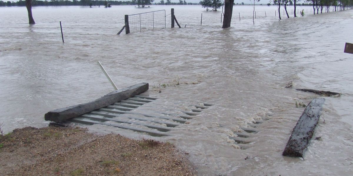
Pictures: flood water within Moree Plains Shire Council. Photo supplied.


