
Water users in parts of the Border Rivers and Gwydir water sharing plan areas in northern NSW have been reminded they can’t harvest floodwater without a licence and compliant metering equipment as rain from Ex-Tropical Cyclone Alfred moves inland.
The Bureau of Meteorology issued minor flood and severe weather warnings for areas around Moree, Warialda (Gwydir Water Sharing Plan area) Glen Innes and Inverell (Border Rivers Water Sharing Plan area) with 24-hour rainfall totals of up to 150mm possible.
The Natural Resources Access Regulator (NRAR) says water users wanting to capture any water moving across a floodplain can only do so if they have primary metering equipment installed by a qualified installer, and a licence.
NRAR Director Education and Engagement Keeley Reynolds said the NSW Government’s reforms to control floodplain harvesting within legal limits became law in both the Border Rivers and Gwydir Water Sharing Plan areas in 2023.
“Having a licence means people have the right to capture and store water as it flows across the floodplain, but it also means they have to measure and report their water take in accordance with the conditions of their linked water supply works approvals,” Ms Reynolds said.
“That means installing compliant metering equipment,” she said.
“Licence holders in these areas have had a long time to comply with the rules, and we do expect water users to have done so before they consider capturing water.”
“If people choose to capture water from a floodplain without a licence or without compliant metering equipment, they may be subject to enforcement action by NRAR,” she said.
“We remain steadfast in our commitment to ensure all water taken in NSW is done in accordance with the rules for the benefit of all communities and the environment.
“The time to act is now so that when and if further rain does fall in coming months, water users are compliant and can lawfully capture water from the floodplain according to their licence and approval conditions.”
NRAR uses the latest satellite and remote sensing technology to understand conditions on the ground and how they relate to compliance.
Comparing satellite imagery over time allows NRAR to know when dams are being filled from storm runoff and to check this against water licence entitlements and conditions. Ms Reynolds said accurate measurement underpins effective and efficient management of the state’s water resources. The best way to achieve that level of accuracy is through installing telemetered metering equipment.
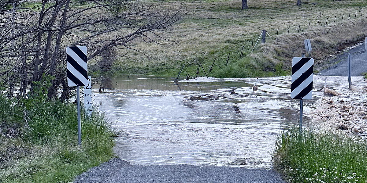
Top image: flooded causeway near Tenterfield this morning (Sera J Wright; New England Times)
Something going on in your part of the New England people should know about? Let us know by emailing newsdesk@netimes.com.au